Stop relying on surveys that leave data gaps
No blind spots. No gaps. Just continuous bird and bat activity data with AI-powered monitoring.
Book a demo
Trusted by industry leaders



Environmental uncertainty carries long-term project risk
Decisions made on limited evidence mean unnecessary delays, costs, and lost revenue.
Spoor Turns Monitoring into Decisions
Algorithmic detection and species classification turn site activity into decision-ready outputs for EIA surveys, permitting, and production maximisation.
Monitor
Continuous detection and tracking of bird and bat activity across the selected area — day and night, in all weather conditions.


- Clear
- 12 m/s
- Spring
Validate
AI-assisted, expert-validated species identification for accurate collision risk modelling and permit compliance.
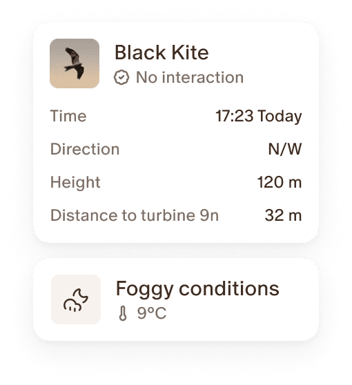
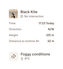
Put bird activity in context
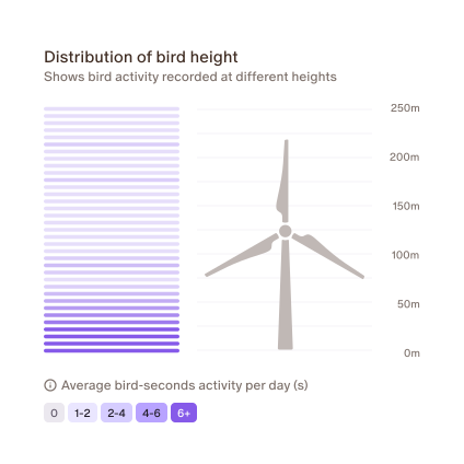
Correlate bird flight patterns, height, and frequency against wind speed, turbine activity, weather, season, and time of day — for smarter decision-making.
Deliver outputs and data reports
Export structured datasets via the Sky Intelligence Platform — ready for use by environmental consultancies and regulators.
Improve over time
Use longitudinal data to minimise curtailment, reduce buffer zones, and confidently maximise energy yield.
Richer data leads to maximised energy yield
Example: Traditional surveys in the UK
- Daylight & weather dependent
- Activity outside monitoring hours and nocturnal activity remains unmonitored
- Visual height estimates introduce error margins that overstate risk
Spoor
- Operates in all weather conditions
- Monitoring from dusk till dawn – night-time monitoring available
- Consistent automated species-level detection
- Site-specific rotor-zone data with precise flight height
- Structured data is available in the Sky Intelligence Platform, ready to be used for collision risk modelling
Spoor Sky Intelligence Platform
Monitoring, AI detection, human validation, and contextual modelling in one place.
- Continuous monitoring and species detection
- Analytical support via correlation with weather and turbine data
- Report-ready tables and figures for EIA submissions or repowering
- Easy data exports for consultants and regulators

Aerial Activity Monitoring
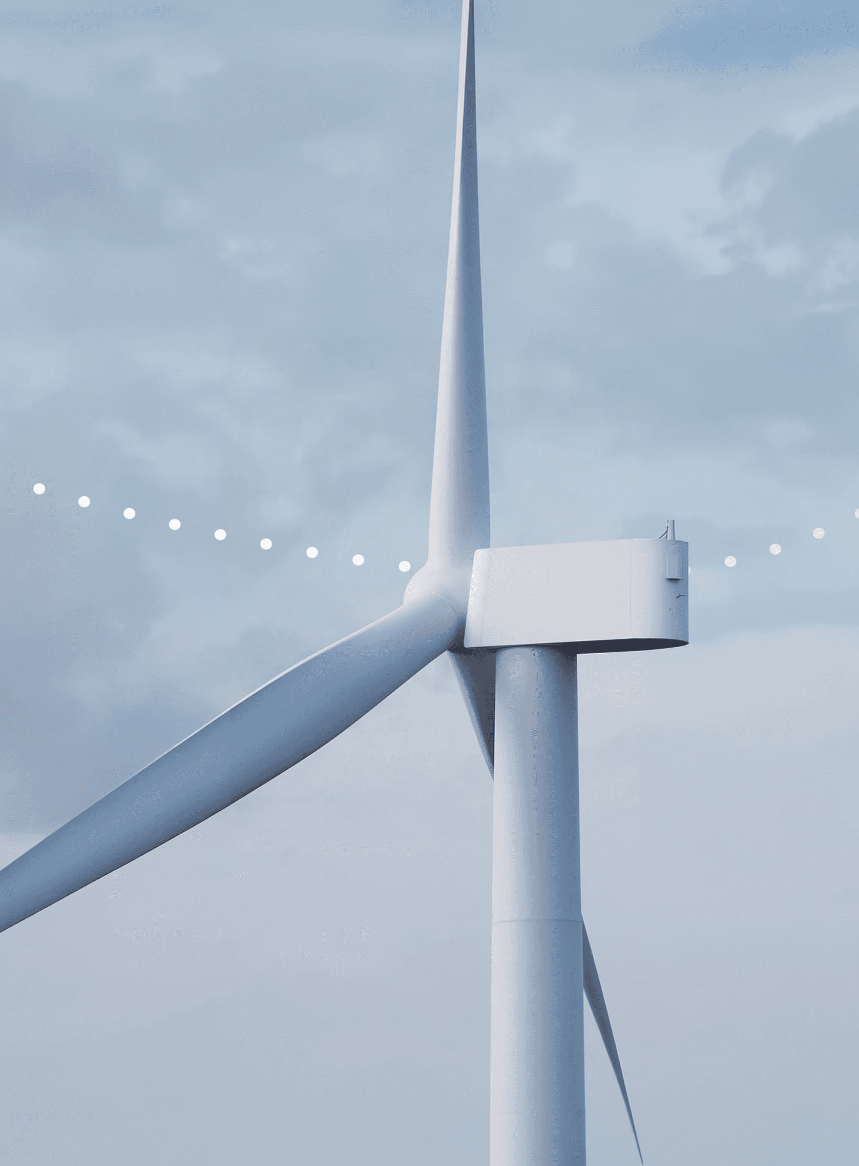
Continuous, automated detection and classification of bird and bat activity across the wind farm.
- High-resolution video evidence
- 24/7 data collection – day, night, all weather conditions
- Eliminated data gaps
- Flexible deployment – onshore and offshore

Turbine Interaction Monitoring
Monitoring of bird behaviour within the turbine collision risk zone — data needed for collision risk assessment, avoidance behaviour analysis, and curtailment design.
- Automated event classification — non-interaction, interaction, or potential collision
- 3D flight trajectory reconstruction
- Detections at distances of up to 1.5 km
- BTO-validated accuracy

The Biodiversity Consultancy reviewed 19 months of Spoor monitoring data at Aberdeen Bay
Real-world data from Vattenfall's Aberdeen Bay suggests standard collision risk models may be significantly overstating actual risk.

Step-by-step implementation
- 1Define your project and monitoring goals
- 2Scope your project with regulatory requirements in mind
- 3Install Spoor's AI-powered cameras on site
- 4Reduce risks and data uncertainty

Proven in Live Wind Projects
Spoor AI is already deployed in real-world wind energy environments, delivering continuous wildlife monitoring at scale.
- Advanced AI and computer vision are trained on 1M+ birds
- Bird detections at distances of up to 1.5 km
- Bird and bat detections with ≥ 95% accuracy
- Proven in low light, at night, and in poor conditions
- Deployment onshore and offshore on 4 continents